KINGSTON, Jamaica – The University of the West Indies has developed an information technology tool, the Natural Hazards Locator System, to help users manage the risks from earthquakes or other natural catastrophes, says environmental risk expert Rafi Ahmad.
Using the data from the January 12 Haiti earthquake as an example, the Head of the Unit for Disaster Studies at the University of the West Indies at Mona said that certain features are repeated in earthquakes worldwide. He pointed out that the results of a geologically controlled earthquake-induced processes, and the spatial distribution indicated can provide a basis for engineering design, land use and disaster preparedness.
“We at The Mona Geoinformatics Institute (MGI) have put such information together in what we call the Natural Hazards Locator System,” said Mr. Ahmad, who is also an MGI Fellow. A partner of the Unit for Disaster Studies, MGI provides analyses, detailed solutions, and design components for Jamaica’s geographical information systems needs.
“Locator System is so sophisticated that if you give us your address, we can give you a report of what is around you and what is beneath your feet,” he stated.
Users can input a specific building type, select a hazard, and then view a simulation of what could happen to the building in that scenario. The system is also able to provide information about hazardous areas generally, with simulations showing likely damage to landscape or infrastructure from specific hazards.
The Haiti earthquake had a death toll exceeding 212,000, with more than 300,000 injuries and 1.2 million people living in temporary shelters. It completely dislocated the functioning of one of the most populous Caribbean states.
“The most important thing for us, as we look at Haiti is to know what factors control ground deformation,” he said. “Basically, it is what is beneath our feet which controls what happens. We know the epicenter, the place on the ground where the earthquake originated; and we know the magnitude was seven. We know the focal dept, and that was 13 kilometer. And, it is all of these data that facilitate modeling of vulnerability and risks.”
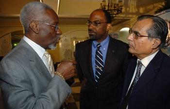
Former Prime Minister of Jamaica and Special Representative of CARICOM on Haiti, the Most Hon. P. J. Patterson (left), holds the attention of Honorary Secretary of the Private Sector Organisation of Jamaica (PSOJ), Earl Jarrett (centre) and Head of the Unit for Disaster Studies at the University of the West Indies (UWI) at Mona, Rafi Ahmad.
Mr. Ahmad was addressing a Private Sector Organisation of Jamaica (PSOJ) meeting on the Haiti earthquake relief efforts at the Terra Nova Hotel in St. Andrew, recently.
He said that the Haiti earthquake provided graphic images of soil liquefaction, landslides, ground shaking, land subsidence and other features; however, the country was also affected by floods, hurricanes, accelerated soil erosion and storm surges along the coastline.
“If we look outside our windows we can see where the danger lurks,” he told the PSOJ audience. “Geographical information systems provide tools to assist in managing these risks; however, they are underutilised.”